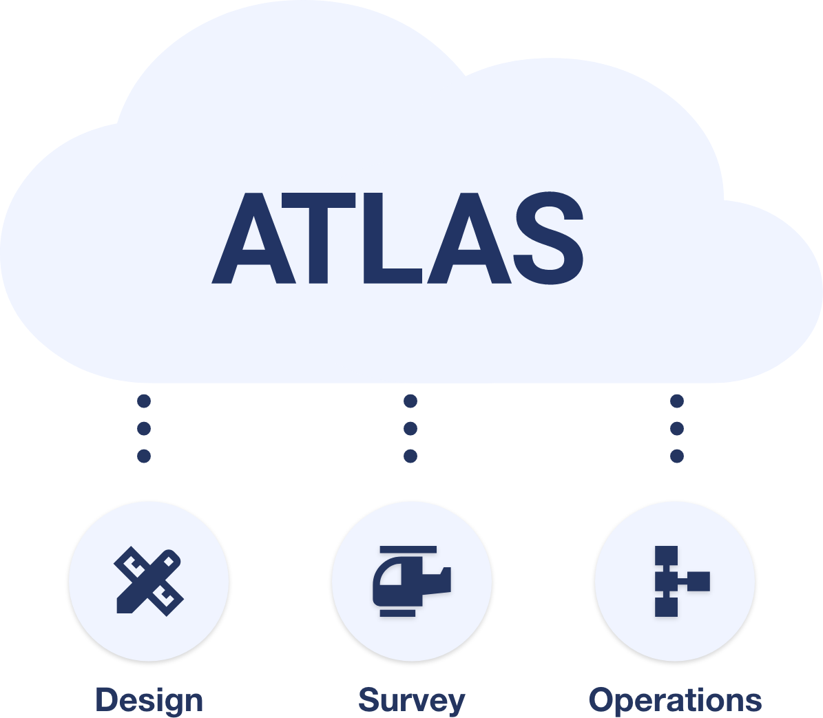
ATLAS is a collaborative, browser-based platform designed to federate multiple data sources, optimising data for the web, allowing you to visualise and federate:
Data can be uploaded directly into ATLAS via our front end or API, or via our integrations with third party tools.
By bringing together a wide variety of data sources, ATLAS eliminates silos and provides transparency, allowing all team members to stay informed. This centralised information can be reviewed, commented on, and shared with stakeholders, including suppliers, through collaborative workflows.
With ATLAS, all project data is readily accessible between your teams, suppliers, clients and stakeholders, without the need for specialist software.
ATLAS offers automated validations to aid compliance, enhance accuracy, and streamline project workflows. By ingesting asset schemas and parameters, ATLAS automatically compares metadata and geometries of a 3D BIM model, identifying discrepancies for review.


© 2025 MobiBiz Ltd
Trading as Enable My
Team